

There’s nothing better than morning hikes followed by afternoon beers! I live in Charlotte and I’ve put together my favorite hikes that are close to the city—anywhere from 15 minutes to 2 hours driving distance away.
AllTrails is my favorite website and app to look up hikes and use as a map when on the trail! The distance of the hike always seems to be a bit longer than what AllTrails says though as a heads up!

Views of the Linville Gorge from the summit of Shortoff Mountain
Shortoff Mountain
This is a fantastic hike in the Linville Gorge Wilderness. The trail is 5.7 miles long with 1200 feet of elevation gain and takes about 2 hours and 45 minutes. There are incredible views of Lake James and the gorge throughout. Plus it is only 15 mins to Fonta Flora’s Whippoorwill Farm location, so be sure to swing by for a beer afterwards!
Time from central Charlotte: 1 hour 45 minutes

Lake James and the surrounding Appalachian Mountains from Fonta Flora State Trail
Fonta Flora State Trail
This is a lovely trail around Lake James. It was about 4 miles long and mostly shaded. It is a new trail and they are continuing to expand it so you have options to do longer hikes here if you’d like to as well! It is very well marked and a nice loop. There is lake access about halfway through on the right you will see a trail that goes down to the water. Not long after this there is a great viewpoint of the lake and surrounding mountains. This trail is very close to Shortoff Mountain, and both are great choices. This one is much easier than Shortoff, so it just depends on what you’re looking for. Either way swing by Fonta Flora afterwards!
Time from central Charlotte: 1 hour 30 minutes

Views from Mount Morrow overlooking the Uwharrie Forest
Mount Morrow Trail
I did this trail paired with the Loop Trail at the top of the mountain to add a bit more and get some better views. It was around 6.5 miles and 90 flights up, so be prepared for a steep climb at the end! The views are awesome at the top, but there is also a parking lot at the top so be prepared to share your views. I was lucky that the parking lot was closed on our visit due to COVID-19, so it was very quiet and relaxing!
Fall Mountain Trail is in this park as well, which is a 4.1 mile loop in a different area of the park. You start off walking along the Yadkin River which is quite nice and then you get into some moderate elevation. There are not very great views here it is still nice overall.
Time from central Charlotte: 1 hour 15 minutes

Mountain views at South Mountains State Park
South Mountains State Park
This is a really nice park with lots of different trails of various lengths and difficulty. We did the High Shoals Waterfall and H.Q. Loop Trail. This one had a gorgeous waterfall and mountain views and I would highly recommend it! It was quite steep at parts and had a lot of man-made steps near the waterfall, but it was worth it! The trail was a little over 5 miles total.
Time from central Charlotte: 1 hour 20 minutes

Haw Creek Overlook
Mountains to Sea Trail: Folk Art Center to Haw Creek Overlook
The Mountains-to-Sea trail stretches 1175 miles across the state of North Carolina from the Great Smoky Mountains to the Outer Banks. There are a ton of different segments of this trail you can do in various places around the state. This particular section starts at the Folk Art Center near Asheville to the Haw Creek Overlook. It is about 5.5 miles round trip out and back. The overlook is gorgeous! This trail is close to the Blue Ridge Parkway so sometimes you can hear some car noise, but overall it didn’t bother us. This one is super close to Asheville, so be sure to head into the city to grab some beers afterward! If you’re looking to explore the Blue Ridge Parkway and surrounding area more, check out my blog here.
Time from central Charlotte: 2 hours

Stone Mountain State Park
Stone Mountain has both an awesome peak and a great waterfall, something you don’t see too often in North Carolina. AllTrails says this trail is 4.5 miles but it actually ended up being almost 6 miles, as a heads up. I would recommend starting the loop going to the right (the signs towards the peak) first, as the back half of the mountain is a lot of manmade steps that are easier to go down than up. The trail was relatively busy but in no way crowded, just know that you won’t have it all to yourself like some of the others on this list. If you are looking for something shorter/easier the waterfall and one lookout point are both close to the trailhead so you could just go to one or both without doing the full loop.
Time from central Charlotte: 1 hour 30 minutes

Along the river on Mason’s Bend Trail
Mason’s Bend Trail
This is a nice and easy 3.5 mile long trail right along the Catawba River. It is mostly shaded by tree cover as well which is a nice protection from the sun. The entrance to the trail is in a subdivision neighborhood but don’t fret, it is actually incredible peaceful and you’ll quickly forget that you parked next to someone’s house. There is also a launch area where you can get in the river for dogs or yourself to cool off but be cautious of the fast moving water.
Time from central Charlotte: 30 minutes

Hazy views from Crowder’s Mountain
Crowder’s Mountain State Park
Crowder’s is easily the most popular trail in the Charlotte area. There are a few different options to get to the top where you can see the Charlotte skyline and surrounding area. The Pinnacle Trail is the most popular trail and right around 4 miles. The Backside Trail is quicker and less crowded and around 2 miles. Crowder’s in general is usually quite crowded and the trails are quite steep, especially as you get closer to the peak.
Time from central Charlotte: 35 minutes

Lake Norman State Park with Oskar Blues & Sophie
Lake Norman Lakeshore Trail
Lake Norman’s Lakeshore Trail is on the north end of the lake and 5.9 miles long. It takes about two and a half hours to do the full loop. There are several beaches you can stop at along the trail to enjoy the view or cool off in. The trail is pretty crowded during peak times but still relaxing and generally quiet. As a note, I would not recommend Monbo Loop at Lake Norman State Park. It is mainly for cycling and provides very little to look at.
Time from central Charlotte: 50 minutes

Vertical Mile Challenge to Hollow Rock Loop
Rocky Face Mountain Recreational Area is home to the Vertical Mile Challenge, which is not as intimidating as it sounds. The full loop up to Hollow Rock is just under 4 miles and takes a little under 2 hours to complete. If you start the trailhead to the left you will encounter a few switchbacks early on and then two nice viewpoints before walking straight down the mountain face. If you start the trail to the right from the parking lot you will climb straight up the mountain face first. This is also a popular area for bouldering and rock climbing if that peaks your interest.
Time from central Charlotte: 1 hour 10 minutes

Near the lake at Latta Plantation
Latta Plantation Park
Latta is a nice, mostly flat park with a lake. There are lots of trail options here so you can make your hike as short or long as you want. I like the Hill Trail, Cove Trail, Split Rock Trail Loop which is about 5.5 miles long and takes about 2 hours. It has good lake views though there is gravel in some areas that takes away from nature vibes. Conveniently very close to the city!
Time from central Charlotte: 30 minutes

Seven Oaks Preserve Trail
This is an easy but pretty trail along Lake Wylie near Daniel Stowe Botanical Garden. AllTrails has it at 4.6 miles but it ended up being closer to 5 miles. It is a well-shaded trail that doesn’t have too much traffic for being so close to Charlotte.
Time from central Charlotte: 30 minutes

McDowell Nature Preserve
This 4 mile loop meanders through McDowell Nature Preserve out to Lake Wylie. It connects multiple trails in the preserve so if you want a shorter distance there are several options as well. This is a relatively flat and easy trail that is pretty heavily trafficked.
Time from central Charlotte: 30 minutes

Fall colors at Lake Haigler
Lake Haigler Loop
This easy trail is part of the Anne Springs Close Greenway. There are a few different trails here with a section near the parking lot with historical markers. This loop from the parking lot around the lake is around 3.5 miles and mostly flat. You need to pay to park so be sure to bring cash with you. The Greenway Gateway is a restaurant on the Greenway you can stop at for a snack or drink!
Time from central Charlotte: 25 minutes

Pump House Biergarden in the Whitewater Center
U.S. National Whitewater Center
The Whitewater Center has several trails of various lengths, most of which are geared towards mountain bikes. I hiked the East Main Loop, which is about 7 miles. There is not too much to see, but there was a variety of landscapes and not too many bikers. It is $6 to park at the center so be sure to bring cash or card. Grab a beer at the Pump House Biergarden in the center afterwards and watch the rafters go by!
Time from central Charlotte: 25 minutes

The well marked Ribbonwalk Nature Preserve
Ribbonwalk Nature Preserve Inner and Outer Loop
It is a little under 4 miles to do every trail in this park in one hike. You can also make it a shorter hike and do one section or one loop, as they all to come together. This trail is nothing too special, but it is super close to the city and nice and quiet.
Time from central Charlotte: 15 minutes
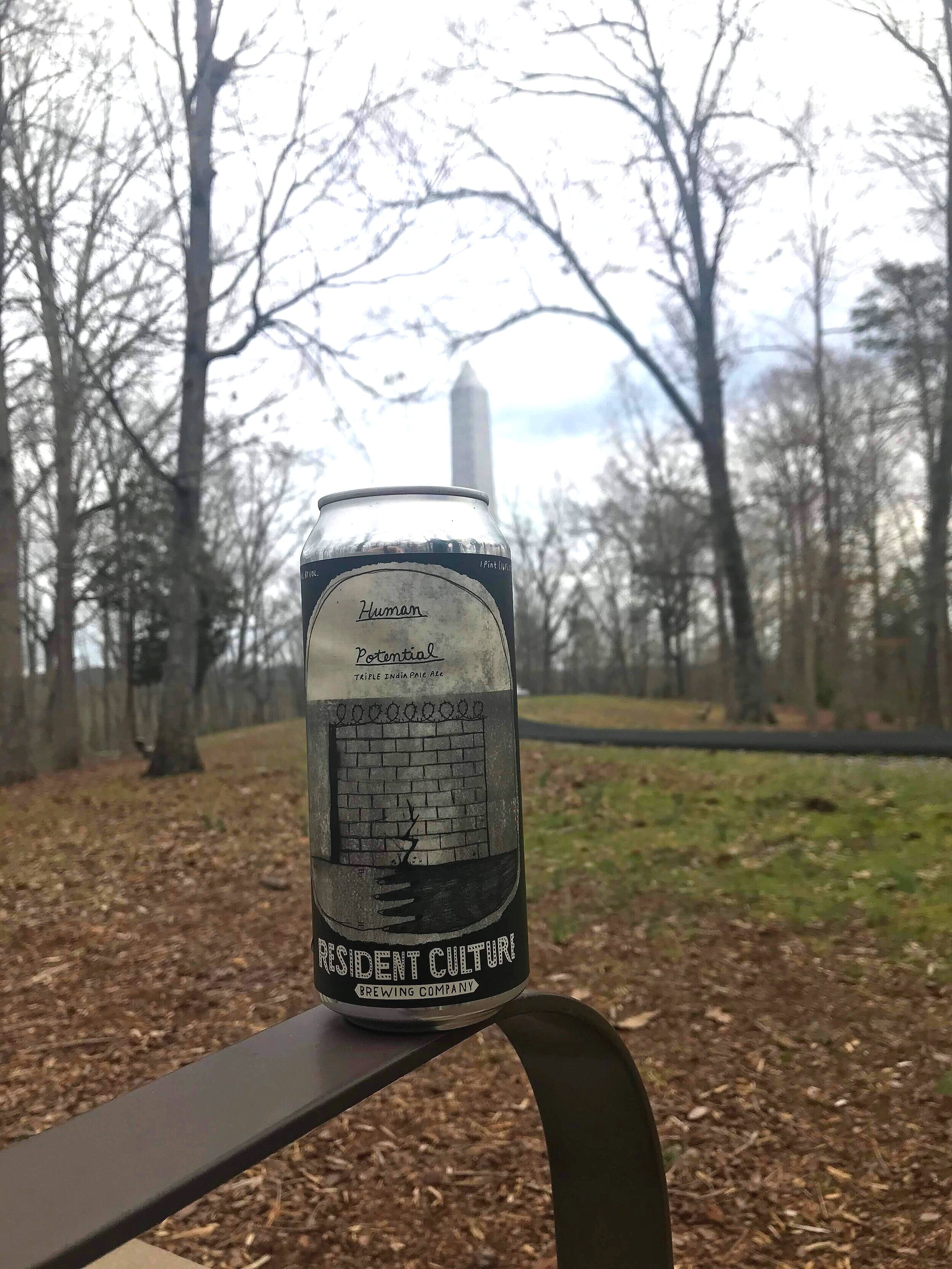
King’s Mountain State Park
I did part of the King’s Mountain National Recreation Trail which overall is more than 15 miles long. There was little signage and little to look at, but it was nice to get out and get onto such a long trail. At the park there is also a really nicely maintained soft path that leads up to a monument that is a one mile loop that you can do with kids/an injury/casually. You are potentially supposed to pay a $3 entrance fee at the park, but somehow I skipped that, so bring some cash with you if you’re going!
Time from central Charlotte: 45 minutes
Recommendations further away from Charlotte:

Pearson’s Falls near Saluda, NC