

Charlotte greenways are super confusing and there are no good resources out there to understand them, so I decided to create my own guide as I explored them! I prefer a mountainous and more difficult hike, but sometimes a greenway is ideal for after work or if you’ve got less time to explore. If you’re looking for a longer and more nature filled adventure, check out my guide to the best hikes near Charlotte here!
Other resources out there are just completely inaccurate in regards to distances and segments of the trails. AllTrails has the same issues with inaccuracies, but has some helpful maps and GPS directions to parking lots so I will link those for each greenway.
You can hop on most greenways at any point along the trail, so if you don’t want to do the full thing or if there is a more convenient area to join based on where you live, know that you can simply walk onto the greenway from most neighborhoods. That is also true in regards for areas to park—all of the greenways have a designated parking lot but you can park in most neighborhoods along the trail as well.
These are all the greenways within the outer 485 loop of Charlotte, but at some point I may force myself to venture into the suburbs! Whether you are walking, running, or biking, Charlotte has a fantastic greenway system!

Four Mile Creek Greenway
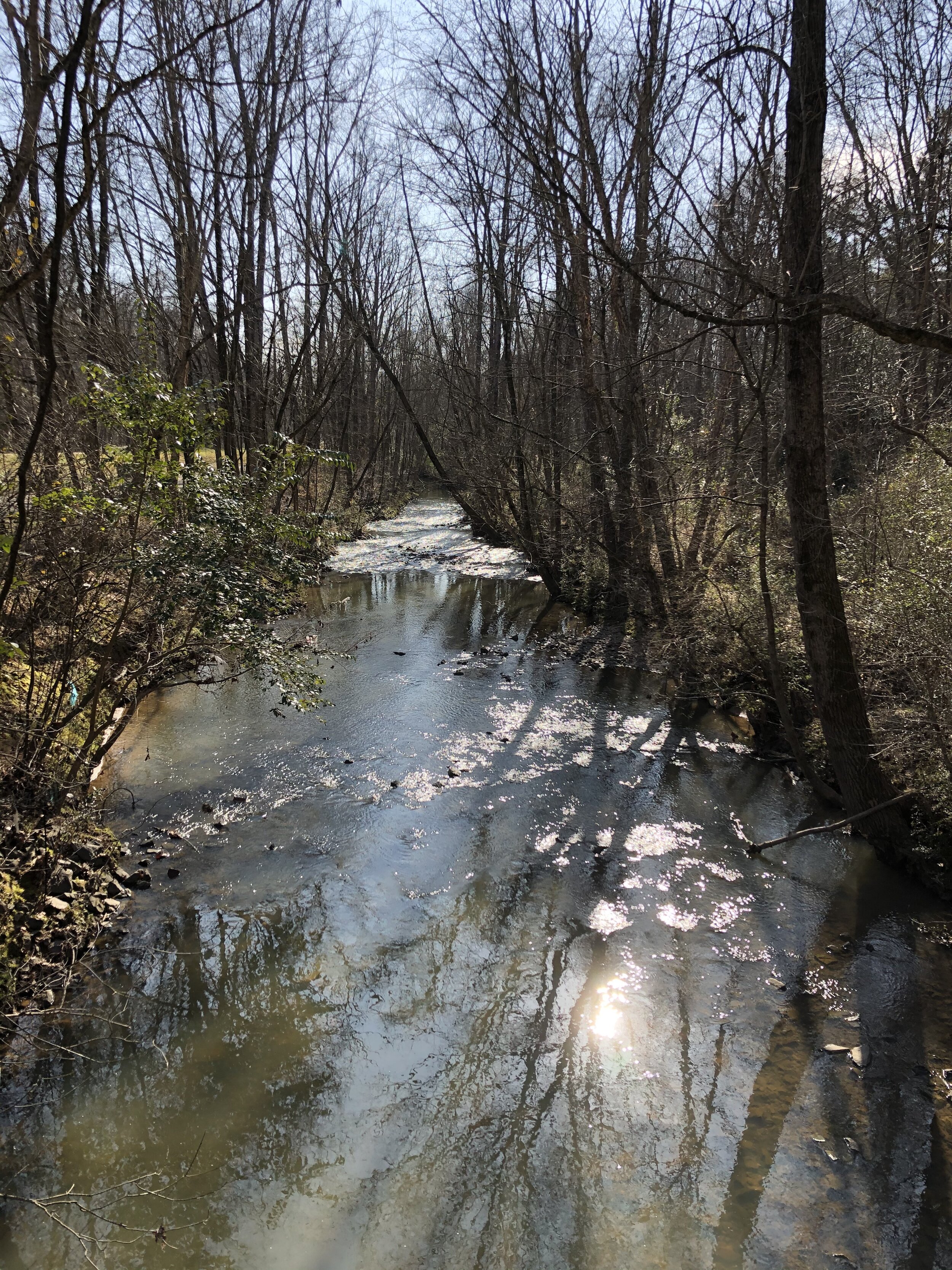
This greenway is in Matthews and a nice stroll along a creek. It is 4 miles total roundtrip out and back. This is definitely one of the more crowded greenways in CLT, but it is still worth checking out. Here is the AllTrails link to where to park along the road or in the neighboring subdivision. Check out Seaboard Brewing for homemade beer and pizza or Carolina Beer Temple for a great tap list of beers after your walk!
Stewart Creek/Wesley Heights/Urban Irwin Creek Greenway
These three greenways intersect in West Charlotte towards Uptown. At one point there is a fork where you can decide to follow Stewart Creek or Irwin Creek, but they are both about the same distance. Overall each trail is about 3.5 miles. I would recommend parking at the Stewart Creek Greenway Trailhead (904 Woodruff Place).
The trail starts in nature and then gets much more urban as you continue on, going right to Uptown. Town Brewing and Blue Blaze Brewing are both right near the trail to enjoy a beer after! Here is the AllTrails link to show the map of Irwin Creek and Wesley Heights. Here is the AllTrails link to show the map of Wesley Heights and Stewart Creek.
Irwin Creek GReenway
This short section of greenway is 3 miles out and back near South End. It runs from Revolution Park with a turf football field across a golf course to Clayton Park. It is a little odd to venture directly through a golf course, but the trail is pretty empty and the rest of it follows a creek through a more relaxing setting. Here is the AllTrails link for this section.
Little Sugar Creek Greenway
This greenway is segmented across parts of Charlotte and has multiple different sections, arguably this is the most confusing greenway in CLT.
Personally I prefer the section that starts in Villa Heights and goes through the Belmont neighborhood towards Uptown. There is a parking lot near The Hobbyist, a great coffee shop and craft beer bar. Grab a coffee to walk with or a beer afterwards! This section is 2.5 miles total roundtrip out and back. It starts at Cordelia Park and ends at Alexander Street Park. Here is the AllTrails link that will give you GPS directions to the parking lot and a map of the route. Occasionally the bridge under Parkwood Avenue will flood, if that is the case you can simply cross Parkwood on the main sidewalk and then rejoin the greenway.
A more urban section of the Little Sugar Creek Greenway winds through Midtown and Myers Park. This section is mostly just sidewalks through the city, but some sections are more scenic. It starts at Freedom Park and goes 2.5 miles towards Uptown. You could also hop on near the Target and Harris Teeter in Midtown and go in the opposite direction. Here is the AllTrails link that will provide you with a map. Grab a beer at Devil’s Logic along the way.
There is also a long section in South Charlotte that runs from near Marion Diehl Park to 485. AllTrails has it broken into two different trails: here is the link for the further north section starting near Marion Diehl Park and here is the link for the section starting at Huntingtowne Farms Park.
Mallard Creek Greenway
This trail is over 9 miles long out and back and is located up near UNC Charlotte. You do need to cross a road at one point, but otherwise it is pretty relaxed. Here is the AllTrails link, but I personally enjoyed combining part of Mallard Creek Greenway with Toby Creek Greenway. You can also connect to Clark’s Creek Greenway if you choose.
Toby Creek Greenway
Toby Creek Greenway runs across part of UNC Charlotte’s campus. It is just over 6 miles long total and connects to Mallard Creek Greenway if you’d like to expand your journey. Part of this trail is more nature filled than the section that goes through campus, but it is interesting to stroll across campus and provides great people watching. Here is the AllTrails link with a map, but the parking lot and distance are inaccurate.
Clark’s Creek Greenway
This trail is about 5 miles total out and back and is nice and nature-y. Park at Mallard Creek Elementary and enjoy your walk along the river! It can be muddy if it has recently rained. I thoroughly enjoyed this one personally. Here is the AllTrails link with a map and directions.
Campbell Creek Greenway
This 3 mile trail is right off Independence Boulevard making it convenient, but you will hear some road noise throughout your walk. It follows the creek throughout and is more nature filled than some of the other options aside from the noise.
As a heads up one of the Google Maps locations will take you to an apartment complex without parking options, so I’d recommend the parking lot AllTrails directs you to. Here is the AllTrails link. Unfortunately this parking lot is not at the exact beginning/end of the trail, it is right on Margaret Wallace and intersects the trail. If you follow the path from this parking lot on the same side of the road as the parking lot you will hit McAlpine Creek Greenway in about a half mile. If you cross Margaret Wallace from the parking lot the trail runs about two miles which is the main section of Campbell Creek Greenway.
This greenway is right near Edge City Brewery so I definitely recommend stopping by for a pint after!
Mcalpine Creek Greenway
McAlpine Creek Greenway is quite long at about 8 miles and connects to Campbell Creek Greenway as noted above if you’d like to extend your journey an extra 3 miles. McAlpine Creek starts near James Boyce Park and it leads to McAlpine Creek Park which has an additional 3 miles of cross country trails that you can explore. Personally I found this trail to be a little smelly unfortunately, you’ve been warned. Here is the AllTrails link for directions to the parking lot that I’d recommend, please note this route is not completely accurate as far as distance and correct markings, I just think the directions are helpful. This greenway is also right near Edge City Brewery!
There is also a lower section of the McAlpine Creek Greenway running 8 miles out and back going further South, here is the AllTrails link.
SHORTER GREENWAY OPTIONS
Personally if a greenway isn’t at least 3 miles I don’t find it to be worth my time and effort, but here are a few shorter options for those of you interested: